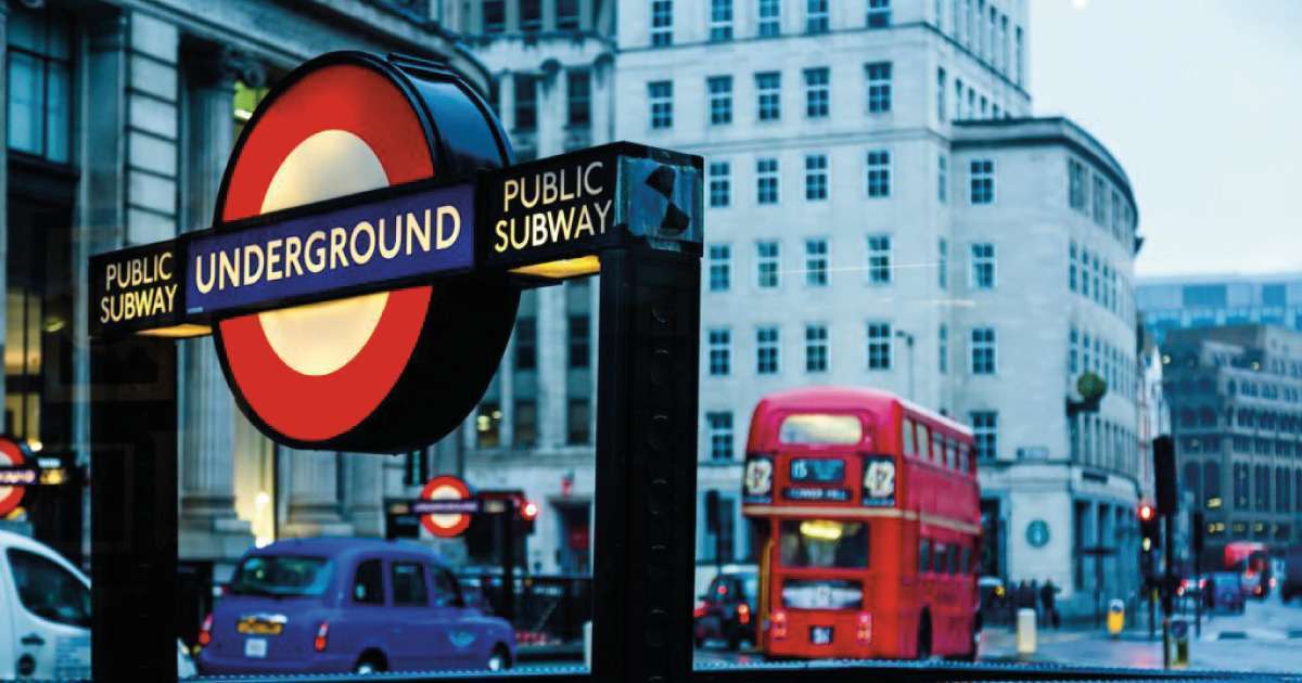
Google’s effective Street View feature continues to extend its grip on London… Already covering almost every street in the city, as well as a stretch of the majestic River Thames, Google has taken another step forward by announcing the extension of its Street View functionality to around thirty of London’s busiest underground stations. This ambitious project, in partnership with Transport for London (TfL), will help travellers to better plan their journeys, thanks to an immersive view of the stations. Find out more about this initiative, which is transforming the experience of travellers in the British capital…
Smoother journeys thanks to an immersive view
This project is due to get under way in the coming weeks… The stations selected for this initiative include Green Park, King’s Cross St Pancras and Waterloo. A team of Google mapping specialists will be responsible for setting up the system. Equipped with 360-degree cameras, they will be tasked with capturing every nook and cranny of the selected stations. This will be done over several days between 10am and 4pm. This time slot has been meticulously selected to avoid crowds and ensure unhindered access to the stations.
Once the images have been collected, Google will apply its blurring technology to guarantee passenger confidentiality. The images will then be gradually deployed throughout 2024. As this happens, passengers will have a detailed view of the layout of metro stations. They will be able to easily locate key facilities such as toilets or assistance points, for a seamless journey…
This project will improve passengers’ confidence in using London’s transport network and help them to plan transfers between different lines more smoothly. This advance by Google Street View is a real asset for mobility in the British capital.
Thomas Ableman, Director of Innovation and Strategy at TfL
Google and TfL at the service of users
This is the second recent collaboration between TfL and Google. Last month, they announced another initiative aimed at optimising Google Maps for cyclists. They have taken into account traffic conditions and the availability of cycling infrastructure to propose routes that are better adapted to cyclists’ needs. In this way, Google is continuing its mission to help residents and visitors to London to explore all aspects of the British capital as easily as possible.
This exciting new project will give people the opportunity to plan their journeys on the London Underground in the same way as they would when walking or cycling across the city.
Seb Dance, Deputy Mayor for Transport